


![【香川】春日川の川市 – [Kagawa] River market of Kasuga river](https://yousakana.jp/wp-content/uploads/wordpress-popular-posts/49605-featured-120x120.jpeg)
![【毎年6/15】初夏の風物詩、満濃池のゆる抜き - [Kagawa 6/15] "Mannou pond", Seasonal event of releasing water from a reservoir](https://yousakana.jp/wp-content/uploads/wordpress-popular-posts/11598-featured-120x120.jpg)

![【高知】魚を守る道、アイスハーバー型らせん魚道 – [Kochi] Ice Harbor type spiral fishway](https://yousakana.jp/wp-content/uploads/wordpress-popular-posts/50244-featured-120x120.jpeg)


![【香川】毎朝焼き立て!高松のスコーン専門店『grain. (グレイン)』 – [Kagawa] Freshly baked scone “grain.”](https://yousakana.jp/wp-content/uploads/2017/01/DSC_8980-1024x683-1-800x534.jpg)
![【香川】国の史跡、四国最大級の古墳『富田茶臼山古墳』 – [Kagawa, National historic site] Tomida Chausuyama Ancient Tomb](https://yousakana.jp/wp-content/uploads/2021/01/Tomitachausuyama-kofun_title-800x533.jpg)
![【徳島 8/12-15】阿波おどり ― 400年続く徳島の夏の熱狂 – [Tokushima 12-15 Oct.] Awa Dance Festival, Tokushima’s 400-year-old summer extravaganza](https://yousakana.jp/wp-content/uploads/2025/08/DSC_0358-800x536.jpg)
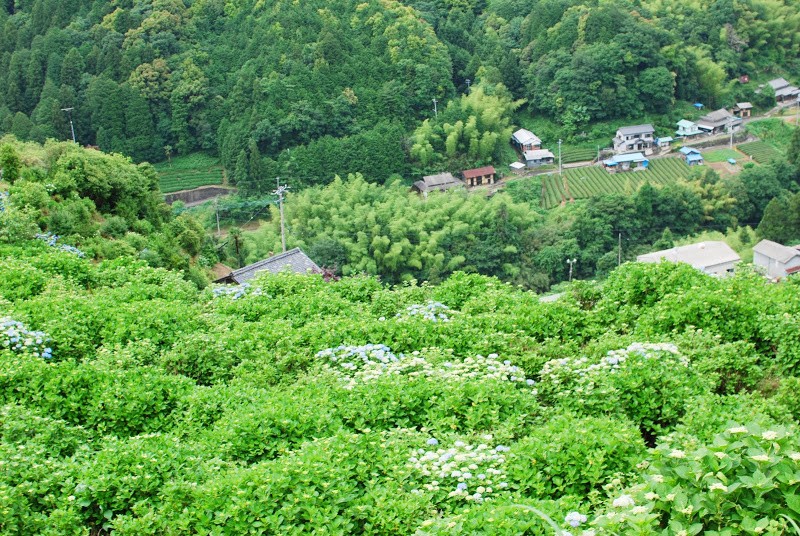
![【徳島 7/6】1000m山の上。大川原高原のあじさいまつり – [Tokushima 6 July] Hydrangeas of Sanagochi Village](https://yousakana.jp/wp-content/uploads/2018/06/ajisai-sanagochi-800x533.jpg)
![【香川】区内町御用達の骨付鳥専門店『寄鳥味鳥』 – [Kagawa] “Yoridorimidori”, Chicken with bone](https://yousakana.jp/wp-content/uploads/2020/12/Chicken-with-bone_Yoridorimidori_kagawa-800x536.jpg)
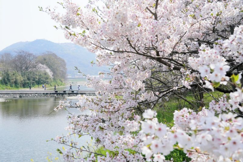
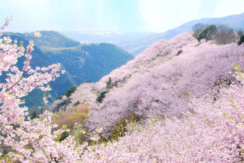
![【高知】樹齢500年、霧の中のひょうたん桜 – [Kochi] Gourd‐shaped cherry blossoms](https://yousakana.jp/wp-content/uploads/2017/04/niyodo-river_sakura-800x450.jpg)
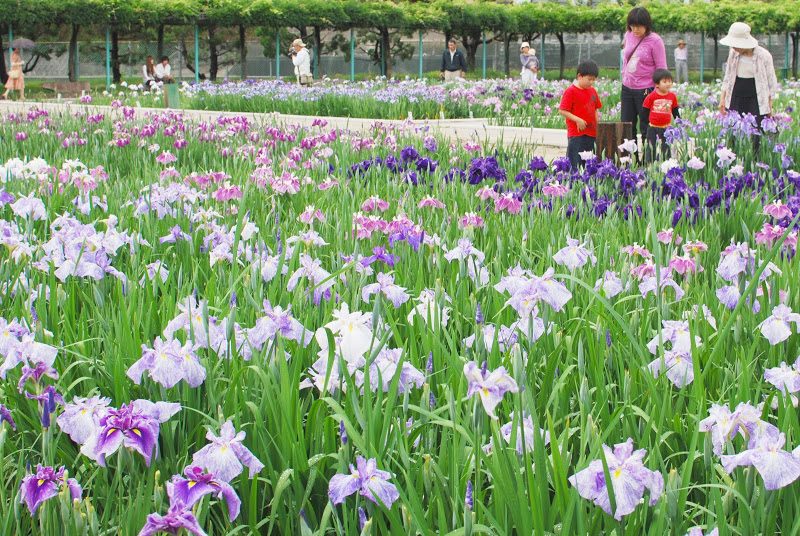
![【愛媛】川辺の緑化建築『新谷菖蒲園』 – [Ehime] Riverside greening architecture ‘Shintani Iris Garden’.](https://yousakana.jp/wp-content/uploads/2021/11/Ehime_Niiya-Iris-Garden-800x534.jpeg)

![【小豆島】みのりジェラート – [Shodoshima island] MINORI GELATO](https://yousakana.jp/wp-content/uploads/2021/06/MINORI-GELATO_Shodoshima-island-800x533.jpg)
![【香川】あの世へ向かう銀河鉄道のよう。与島の盆踊り – [Kagawa] Bon dance of Yoshima Island](https://yousakana.jp/wp-content/uploads/2023/08/yoshima_bondance-800x533.jpg)
![【香川】山と街と海をつなげる給水器「たかまつ給水スポット」 – [Kagawa] Water dispenser connecting mountains, towns and sea. “Takamatsu Water Refill Point”](https://yousakana.jp/wp-content/uploads/2025/12/Takamatsu-Water-Refill-Point-800x534.jpg)
![【香川】建築家・山本忠司設計、瀬戸内海歴史民俗資料館 – [Kagawa] “Seto Inland Sea Folk History Museum” designed by Architect Tadashi Yamamoto](https://yousakana.jp/wp-content/uploads/2026/04/setouchi-folk-history-museum-800x534.jpg)

![【小豆島 7/4】虫送り、江戸時代から島に伝わる行事 – [Shodoshima island 4 July] The torch procession at island](https://yousakana.jp/wp-content/uploads/2026/05/mushiokuri_shodoshima_nakayama-800x533.jpg)
![【国史跡】徳島最大の前方後円墳『渋野丸山古墳』 – [National Historic Site] Shibuno Maruyama Tumulus](https://yousakana.jp/wp-content/uploads/2022/02/National-Historic-Site_Shibuno-Maruyama-Tumulus_index-800x533.jpg)

![【岡山】市庁舎から美術館へ。丹下建築から浦辺鎮太郎から受け継ぐ倉敷の名建築『倉敷市立美術館』 – [Okayama] The Kurashiki Municipal Museum of Art](https://yousakana.jp/wp-content/uploads/2025/08/panorama_kurashiki-city-museum_11-800x533.jpg)
![【広島】基町(もとまち)高層アパート – [Hiroshima] Motomachi Apartments Hiroshima city](https://yousakana.jp/wp-content/uploads/2024/01/panorama_hiroshima-800x533.jpg)
![【香川】ダブルダイヤモンド讃岐富士 – [Kagawa] Double Diamond Mt. Sanukifuji](https://yousakana.jp/wp-content/uploads/2021/08/Double-Diamond-Mt.-Sanukifuji-800x533.jpg)
![【香川 7/20】伊吹いりこの伊吹島。大漁旗で彩られた船の『明神祭(みなとまつり)』 – [Kagawa ] Myojin Festibal of Ibukijima island, Seto Inland Sea](https://yousakana.jp/wp-content/uploads/2016/07/ibuki-island-800x536.jpg)
![【香川 秋冬限定】オリーブハマチ丼 – [Kagawa Olive Hamachi season] Rice bowl topped with Olive Hamachi (yellow-tail)](https://yousakana.jp/wp-content/uploads/2020/09/Olive-Hamachi-800x534.jpg)
![小豆島の山と海とコーヒーと『moksha coffee』 – [Shodoshima island] Mountain, Sea and Coffee “moksha coffee”](https://yousakana.jp/wp-content/uploads/2021/12/moksha-coffee_02-1-800x534.jpeg)
![【閉店】創業60年の老舗のうどん屋「谷川製麺所」が閉店 – [Close Dec. 30th] Tanigawa noodle‐making factory at Kagawa](https://yousakana.jp/wp-content/uploads/2014/12/shippoku-udon-800x534.jpg)
![【香川 2027年廃止】「瀬戸の花嫁」の海を渡る。小豆島〜沖之島を結ぶ渡し船 – [Kagawa] The ferry connecting Shodoshima and Okinoshima island](https://yousakana.jp/wp-content/uploads/2026/05/boat_okinoshima_shodoshima-island-800x533.jpg)
![【徳島】天空の石積み、にほんの里『高開(たかがい)の芝桜』 – [Tokushima] Takagai’s stone wall of Japanese village](https://yousakana.jp/wp-content/uploads/2018/04/takagai_tokushima-800x533.jpg)
![【徳島】鬼滅のufotableが歴史的建造物「旧みずほ銀行徳島支店」を取得 – [Tokushima] ufotable, the studio behind *Demon Slayer*, has acquired the historic building ‘Former Mizuho Bank Tokushima Branch’](https://yousakana.jp/wp-content/uploads/2026/05/ufotable_tokushima-1-800x533.jpg)
![【香川】はざまのいちじく(無花果) – [Kagawa] Fig of Hazama, Mannou town, Kagawa pref.](https://yousakana.jp/wp-content/uploads/2017/08/fig_hazama_mannou-town-800x450.jpg)
![【香川 重要文化財】日本に3つしかない無塗装石造りの灯台『男木島灯台』 – [Kagawa National Important Cultural Property] The stone lighthouse at Ogi island](https://yousakana.jp/wp-content/uploads/2021/07/Ogijima-island_Lighthouse-800x533.jpg)
![【広島】国指定重要文化財「世界平和祈念堂」 – [Hiroshima] Memorial Cathedral of World Peace](https://yousakana.jp/wp-content/uploads/2024/05/World-Peace-Memorial-Hall_hiroshima-800x533.jpeg)

そして僕が先学期したプレゼンテーション、
機能と外見の関係性について触れる際、引用した事例。
ご存知、電子回路の設計者でもあったハリーベックのデザインした
ロンドンのチューブマップ。機能的な美しさ。
ちなみに、簡単にプレゼンした内容を紹介すると、
美しさは機能に追従するという考え方を否定するもので、
「美しさ」という変数もまた機能のひとつとして捕らえた時に、
その機能がもつ価値の可変性という性質を
さまざまなデザインの歴史を追って紹介するというものでした。
TubeMapの歴史について日本語では、こちらのサイト(Un chemin de pierre m’a dit…)
わかりやすくまとめられておりますのでそちらをご覧ください。
現在、ロンドン交通局の駅名表示・標識などで使用されているフォント
” New Johnston “は河野 英一さんのデザインしたものだそうです。
Beck’s maps
> The first diagrammatic map of the Underground was
> designed by Harry Beck in 1933.
> Beck was an Underground employee who realised that,
> because the railway ran mostly underground,
> the physical locations of the stations were irrelevant to the traveller wanting
> to know how to get to one station from another —
> only the topology of the railway mattered.
> This approach is similar to that of electrical circuit diagrams;
> while these were not the inspiration for Beck’s diagram,
> his colleagues pointed out the similarities
> and he once produced a joke map with the stations replaced by electrical-
> circuit symbols and names with terminology,
> such as “bakelite” for “Bakerloo”.
> In fact, Beck based his diagram on a similar mapping system
> for underground sewage systems.[citation needed]
> To this end, he devised a vastly simplified map,
> consisting of stations, straight line segments connecting them,
> and the Thames; lines ran only vertically, horizontally,
> or at 45 degrees. To make the map clearer and to emphasise connections,
> Beck differentiated between ordinary stations (marked with tick marks)
> and interchanges (marked with diamonds).
> The Underground was initially sceptical of his proposal —
> it was an uncommissioned spare-time project,
> and it tentatively introduced it to the public in a small pamphlet.
> It was immediately popular, and ever since the Underground
> has used topological maps to illustrate the network.
参考:
Un chemin de pierre m’a dit…:2007年04月 [Link]
Harry Beck (graphic designer) [Link]
Tube map – Wikipedia, the free encyclopedia [Link]
Harry Beck’s “Design Classic” of the London Underground Map [Link]
Design classics | Transport for London [Link]
The London Underground Map — Harry Beck’s Design Icon [Link]
タモリ倶楽部 02年12月11日 開館! 地図ミュージアム [Link]
More from my site
 セントポール大聖堂 クリスマス・キャロル – Christmas Day, Festal Evensong | St Paul’s Cathedral, London
- 谷崎潤一郎さんゆかりの地、兵庫で舞台 「春琴」 演出 サイモン・マクバーニー – Shunkin Simon McBurney
- ロンドン・パラリンピックの「Meet The Superhuman」と題されたCMが凄い – Channel 4 Paralympic Games – Meet The Superhuman
- new london bus design – ロンドン・バス デザイン・リニューアル
- JAPAN CAR – DESIGNS FOR THE CROWDED GLOBE
- テストページ デザイン公開 – 魯祐 公式サイト – yousakana official site | environmental design
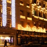 London Christmas Lights 2008 – ロンドン・クリスマス・イルミネーション
- ロンドン・コベントガーデンで見る。冬のインスタレーション – Constellation, Covent Garden Christmas Lights, London UVA (United Visual Artists)
- Ice Skate at Somerset House – Tiffany & Co. presents
- 農地制度改革案
コメントを残す